
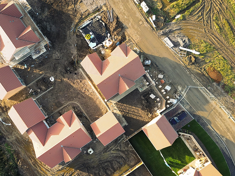
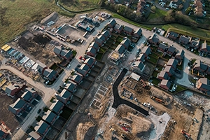
Construction
Progress tracking & site documentation
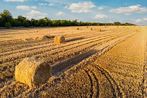
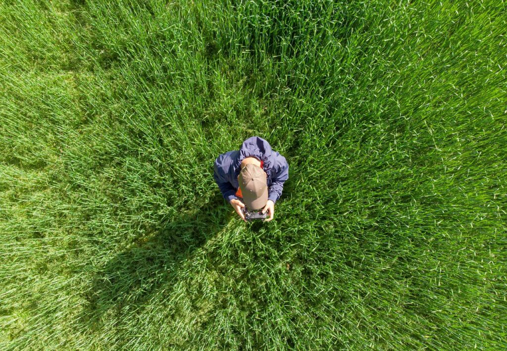
Agriculture
Large-scale aerial coverage
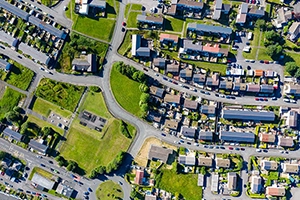
Real Estate
Flyovers & property imagery
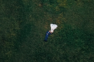
Marketing
Cinematic footage for media campaigns
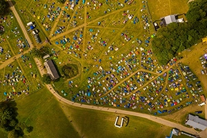
Events
Dynamic aerial event and venue coverage

Progress tracking & site documentation
Large-scale aerial coverage
Flyovers & property imagery
Cinematic footage for media campaigns
Dynamic aerial event and venue coverage